 From the Church of Valdinferno (7 km above Garessio) up along the concrete road to the Case Mulattieri (1418). Here, take the path (signposts) that goes right into the woods of beech and that comes out in the pastures of Pian Bersi in the immediate vicinity of the Refuge Savona (1528).
From the shelter continues on the beautiful pastures uphill (red marks faded) up to a crest (1750) that descends from Monte Grosso and overlooking the Valley of the Rio de Bu ra. From the crest go down very steeply in the opposite side reaching almost to the bottom of the valley. It then proceeds to coast on the orographic left side of the valley until you reach the next Colla Bassa (1846).
From Colla Bassa turn left and follow the path (finally marked with evident marks red and white) that goes up the steep slope to the right of
 the spur north-east of 'Antoroto. With the snow, in this section, may be useful crampons and ice ax. With strenuous climb you reach the ridge a little to the west of the summit now very close (2144).
Alternatively, you can climb to the summit along the thin track that runs more or less faithfully the spur north-east (route more attractive but very tiring).
On the way back, after being back down to the Colla Bassa, take the trail that goes down in the Valley of the Rio de Bura (white-red signs) and reports directly to the Houses Mulattieri where you reconnect with the ascent route.
VALDINFERNO (1213) - MONTE ANTOROTO (2144) Rise time: 3 hours Total time: 5.30 hours
From the Church of Valdinferno (7 km above Garessio) up along the concrete road to the Case Mulattieri (1418). Here, take the path that goes right into the woods of beech and that comes out in the pastures of Pian Bersi in the immediate vicinity of the Refuge Savona (1528).
From the refuge continues uphill to the west, crossing the hillside the gentle slopes that descend from the ridge Berlin-Mussiglione. Then you come on a clear valley dominated dall'anticima rocky Grosso and go up until you reach the ridge in the immediate vicinity of the arrival of the ski lift "Mussiglione" (ski Garessio 2000). Finally bends to the south and the ridge can be reached in short the two peaks of Monte Grosso (2007). The top part of the Monte Grosso is in fact bifida and has two round knobs that share almost equal distant from each other about 150 meters. On the southern tip is a stone figure.
On the way back, from the arrival of the ski lift, follow for a short distance to the ski slope. When this starts to descend more steeply on the side of Val Casotto, turn right a dirt road that leads down to Mount Berlin (1789), keeping always on the north side of the ridge. From Berlin turns south and, to gentle slopes, to return quickly to the underlying Refuge Savona, where there is a link with the ascent route.
The Bric Mindino, the 'Antoroto, Pizzo d'Ormea, the Mongioie and Bric Conoia, Cima and Cima Pian delle Saline Ballaur are located on a chain of the Ligurian Alps rising suddenly from the valley to weld in Garessio Punta Marguareis with the alpine ridge from Ventimiglia. This chain is well located south of the deep groove of the Tanaro Valley that Garessio westward bend down to fractions of brigasche Carnino and Upega. To the north, however, five ridges parallel and perpendicular to it down towards the plain then bifurcating into the same ridges separated by valleys of Monregalese Valley Mongia, Val Casotto, Valle Roburentello, Corsaglia Val, Val Maudagna, Valle Ellero Valley Lurisia and Pesio. The southern slopes of this mountain in the Alps have turned to Liguria and Val Tanaro is close to our region for culture and history so that Ligurian dialects are still spoken there. Bertrand La Cima and Cima Missun are located south of the Marguareis on the branch of the Alpine chain that runs to and entering Ventimiglia in Liguria on the top of Saccarello.
La Rocca Abyss, first peak of the Maritime Alps, stands guard at the Roya Valley. This beautiful valley, long disputed by the Savoy and the Republic of Genoa, was assigned to the Kingdom of Sardinia in 1815 and incorporated in the County of Nice. Typical Ligurian are the countries of Brig and Tent and Italian last names of the people who live there. The ridge hike from Colle di Tenda to the fortress of the Abyss follows the true ethnic and geographic borders of our region.
The mountains of the Apennines between Cirone Pass and the node of orographic Top Belfiore (on which converge the Magra river, the Secchia and Serchio) are easily accessible from La Spezia and for its history and culture are also close to our region. The Naked, the Alpe di Succiso and Casarola, the Sillara, the Lausanne and the Bragalata, the 'Orsaro and Marmagna Apennine mountains are very high and grim, on which in winter must be very careful.

VALDINFERNO (1213) - MONTE GROSSO (2006) - Winter Snowshoe Rise time: 2.30 hours Total time: 4:45 hours

At the top

Panorama from the summit of Pizzo d'Ormea, Mongioie

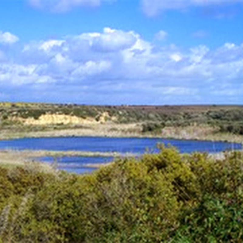
Val Casotto dall'Antoroto

Small avalanches under rocks dell'Antoroto

The Antoroto

Dall'Antoroto down. Stop the houses Mulattieri

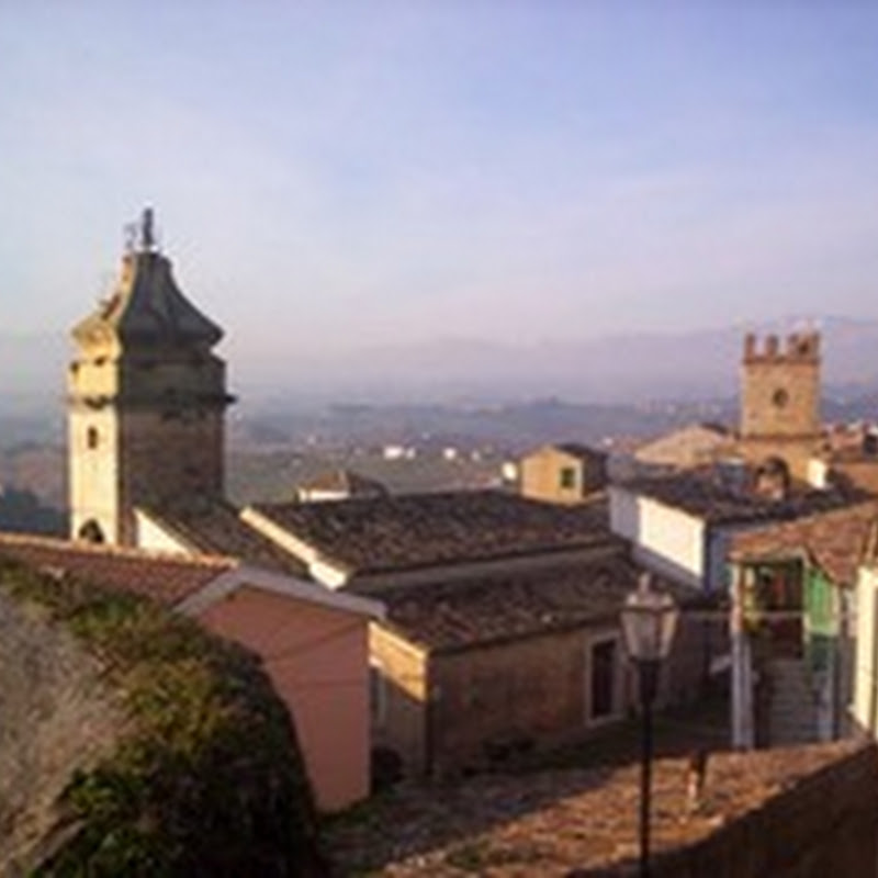
The Church of Valdinferno

The Christ who is at the entrance of the path that starts from Valdinferno

The Antoroto

Glue to Low

View from the summit

Old houses in Valdinferno

The Antoroto left. The Colla Bassa center

Glue to Low

View north from the summit dell'Antoroto: Monte Grosso in the foreground and the background Mindino
source: Immagini d’Italia

Custom Search
If you liked this article, subscribe to the feed by clicking the image below to keep informed about new contents of the blog:


0 commenti:
Post a Comment